Catawba County News

Severe Thunderstorms? NWS Making Changes to Wireless Emergency Alerts
Published: July 28, 2021
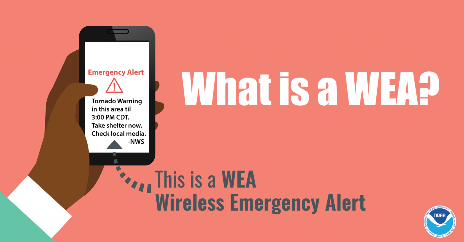
Catawba County Emergency Management is sometimes contacted by residents concerned that their cell phone didn’t “alert” when a severe thunderstorm passed through the area. The simple answer is that the only weather related activations of the Wireless Emergency Alert (WEA) system are for tornados and flash floods. However, that will change in the near future.
First, what are WEAs? WEAs are short emergency messages from authorized federal, state, local, tribal and territorial public alerting authorities that can be broadcast from cell towers to any WEA‐enabled mobile device in a locally targeted area. WEAs are messages that warn the public of an impending natural or human-made disaster. The messages are short and can provide immediate, life-saving information. (FEMA.gov)
When the NWS sends out active alerts, the messages contain damage threat “tags” at the bottom of the message. That “tag” is an indicator to how destructive a storm can be. In the case of Flash Floods or Tornados they are labeled as “Considerable” or “Catastrophic”. For Severe Thunderstorms (SVR) they are “Considerable” and “Destructive”. “Considerable” SVR’s would contain 1.75”-2.5” hail or have wind gust up to 70 mph. “DESTRUCTIVE” SVR’s would contain hail greater than 2.5” or have wind gust 80+ mph. The upcoming changes will only affect messages that contain the DESTRUCTIVE tag, which will now be recommended to activate the WEA.
What does this mean to you? More weather related events will trigger WEA’s, but you shouldn’t rely on those as your initial indication of a storm. A “Considerable” thunderstorm is still very dangerous. Follow your local news for area specific weather reports. Pay attention to the weather so you know when severe storms are possible. Be prepared and be safe.